 |
|
|
Follow Mark on Facebook for more stories |
||
 |
||||||||||
|
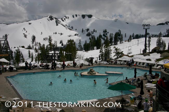
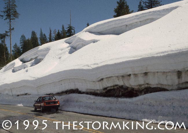
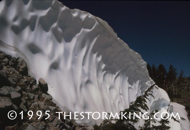
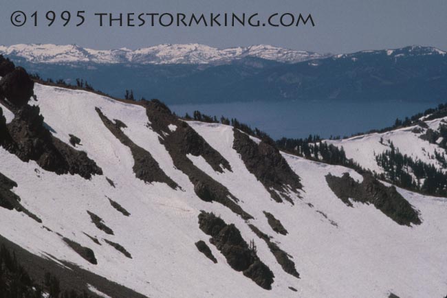
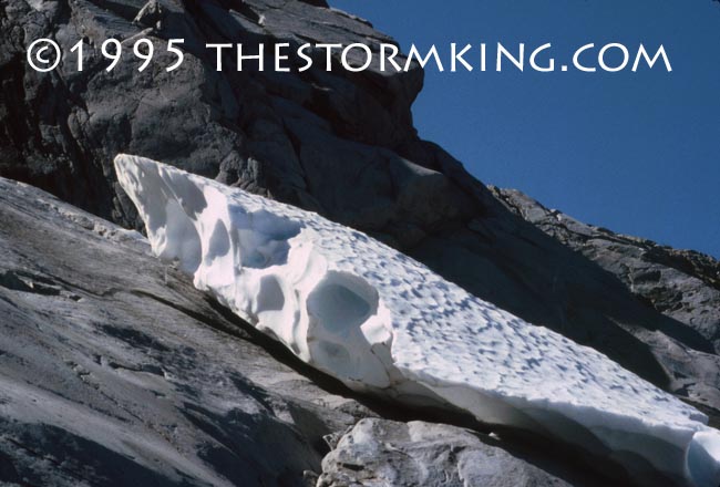
Tahoe Nugget #207: 1995 & 2011: Twin Tahoe Winters Spring has not yet sprung at Lake Tahoe. It's been cooler than normal with on and off rain and snow for the past week. In fact, my snow shovel saw some action a few times this week here at lake level, while the last Tahoe resort to remain open, Squaw Valley USA, is reporting nearly three feet of fresh snow this week on top of a 14-foot base. Powder tracks in May. When will it end? It's been 16 years since the region experienced a winter of a similar magnitude to 2011, way back in 1995. And despite all the media hype about 2011 being a "record breaker," when it comes to this year's hydrological impact, 1995 blew us out of the water. Most of the following pictures are from 1995, a very rare year when the Sierra snowpack never melted off completely
Climatologists will ultimately blame the cool La Niña episode in the Pacific Ocean for much of this winter's relentless barrage of cold snowstorms, a similar pattern to 1907 when a record 884 inches (73.6 feet) of snow fell in the Sierra. Alpine Meadows Ski Area claimed that they received more than 72 feet of snow this winter at their mid-mountain stake. If their measurements stand up to scrutiny based on National Weather Service standard methodology, we could be near a new California seasonal snowfall record. Back in 1995, Alpine Meadows reported 662 inches (55 feet) by May 1, a record for the resort at that time.
The culprit in 1995, however, was La Niña's little brother, El Niño. The warmer sea surface temperatures associated with El Niño tend to pump up the subtropical jet stream, which brings above average precipitation to Southern California. This winter (La Niña), cold storms were big snow producers, enough to place 2011 near the top ten all time snowiest since 1878.
In 1995, however, the influence from the juicy subtropical jet stream upped the amount of moisture in the snow; the Central Sierra Snow Laboratory near Soda Springs measured 107 inches (9 feet) of water that year, second all-time wettest behind 1982. On May 2, 1995, snow surveyors measured 10.5 feet of water in the snowpack at Squaw Valley, about 316 percent of normal. On May 1, 2011, the Lake Tahoe Basin snowpack water equivalent was 208 percent. Similar to 2011, the winter of 1995 started early and stayed late. Tahoe residents that year got an early dose of wintry weather when cold storms barreled in out of Alaska in November. Records for cold and snow were broken throughout Nevada, and Sacramento experienced its coldest November in history.
Another similarity between the two winters was the bone-dry January in 2011. In 1995, the month of December fell into a sucker hole and went down as one of the driest ever. Carson City measured only .03 inches of precipitation during that normally wet month. True to form, the El Niño influence kicked in during January 1995 with a barrage of warm moist storms from the Pacific. That month Tahoe picked up between 13 to 16 inches of rain, about 250 percent of normal for January. The gloomy wet weather was persistent; both San Francisco and Sacramento tied monthly records with measurable rain falling on 26 and 25 days respectfully. The topsy-turvy pattern continued when February delivered only 24 percent average precipitation in the Sierra, while Reno experienced its warmest February since 1888.
The Storm King returned in March 1995 and the region got hammered with incessant storms. Precipitation values soared to 335 percent of normal throughout the northern Sierra and Nevada. Locals proclaimed it "The snowiest March we've ever seen." That's what everybody said in 2011, too. In both years April and May were cold and very wet, with persistent cloud cover and nearly double average precipitation. It was a miserable spring weatherwise, but when the skies finally cleared water storage in Lake Tahoe had made a near record seasonal surge to its highest level in nearly a decade. And just like 1995, the lake is making a big comeback this year too. |
||||||||||
|

